Location deactivation: Long live LORAN positioning, and curses upon those that shut it down
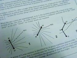
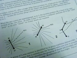
Loran — short for long-range navigation — was developed in the United States during World War II as a technically superior alternative to British radio-based positioning. In short, Loran consists of dozens of towers installed at bases all over the world that transmit synchronized low-frequency radio signals. These signals are picked up by receivers: More specifically, a given Loran receiver installed in a watercraft (or aircraft) collects synchronized Loran signals from the three towers that happen to be geographically closest. Next, the differences in the separate signal arrival times are translated into position by the receiver's computer — to locate a vessel as far as 1,500 miles away to within a few feet in some cases.
In fact, Loran receivers have provided navigation in everything from mighty U.S. Naval warships to lowly fishing boats, not to mention Pan-American Boeing 707s, Vietnam-era C-124s, and my 1985 Tartan 34 sailboat.
It's a neat technology, but you may have guessed where this story is going: The U.S. Coast Guard and Department of Homeland Security cut Loran budgeting last year, so U.S. towers began ceasing transmission, closing shop, and winking out in February. Most stations will be shuttered by 2011, and Canada is following suit, to pull the plug on its own Loran towers any week now.
There's been some opposition to Loran's termination, partly because the system is so elegant, accurate, and familiar — and partly because it offers real strengths as a redundant backup to GPS, which has vulnerabilities.
If you're convinced of its value and up for joining the crusade to save Loran, visit loran.org for more information. Otherwise, if you're not one for mature technologies, read a story on how laser-based GPS is used in industrial applications by visiting our sister publication's machinedesign.com and entering “Nikon GPS guidance” in the search field.
About the Author
Elisabeth Eitel
Elisabeth Eitel was a Senior Editor at Machine Design magazine until 2014. She has a B.S. in Mechanical Engineering from Fenn College at Cleveland State University.


